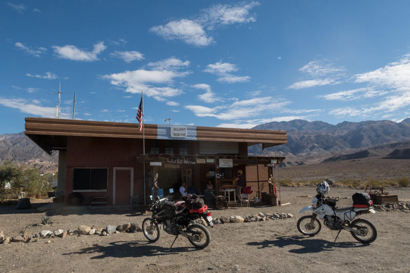
Death Valley Panamint Springs multi-day dual sport ride (day 1)
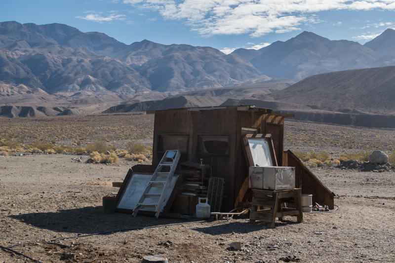
Bike parked at Salt Creek on Westside Road on return path through Furnace Creek
Day 1 ride (180 miles):
Panamint Springs - Ballarat - Barker Ranch - Mengel Pass - Westside road -
Furnace Creek loop
 This
is a loop ride from Panamint Springs with the southern reach at Barker
Ranch, and abandoned ranch and hideout of infamous psycho killer Charles
Manson and his nutball
This
is a loop ride from Panamint Springs with the southern reach at Barker
Ranch, and abandoned ranch and hideout of infamous psycho killer Charles
Manson and his nutball
We then headed off to the south on the (graded
dirt) Wingate Road for another 16 miles passing a large active mining
operation in the Panamints to our left. Up to this point,
any reasonable vehicle is sufficient. We then headed up
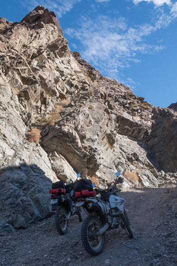
Goler Canyon to the east via Coyote Canyon Road.
The road gets rougher from here, and starts ascending over the Panamint
Mountain range.
 We
started at about 1500 feet and ascend to about 4400 feet by the time we get
over Mengel Pass to the east side that drops into Death Valley proper. If you have a bigger adventure bike, you
should still be okay up to Barker Ranch, but the going gets rougher further up
(more on this later). Goler Canyon is quite
pleasant, with a spring fed creek running through some of it, and a few
abandoned mines along the way that can be worth a stop and checking out.
It was also interesting to see a number of wild burros in this canyon
and on the other side. By the end of this ride I must of
counted about 20, and it seems like their numbers are multiplying. Finding Barker Ranch was a bit of hit
and miss, exploring a few side roads off to the right, but we finally found
it after taking a short spur road signed by the NPS close to the park
boundary.
We
started at about 1500 feet and ascend to about 4400 feet by the time we get
over Mengel Pass to the east side that drops into Death Valley proper. If you have a bigger adventure bike, you
should still be okay up to Barker Ranch, but the going gets rougher further up
(more on this later). Goler Canyon is quite
pleasant, with a spring fed creek running through some of it, and a few
abandoned mines along the way that can be worth a stop and checking out.
It was also interesting to see a number of wild burros in this canyon
and on the other side. By the end of this ride I must of
counted about 20, and it seems like their numbers are multiplying. Finding Barker Ranch was a bit of hit
and miss, exploring a few side roads off to the right, but we finally found
it after taking a short spur road signed by the NPS close to the park
boundary.
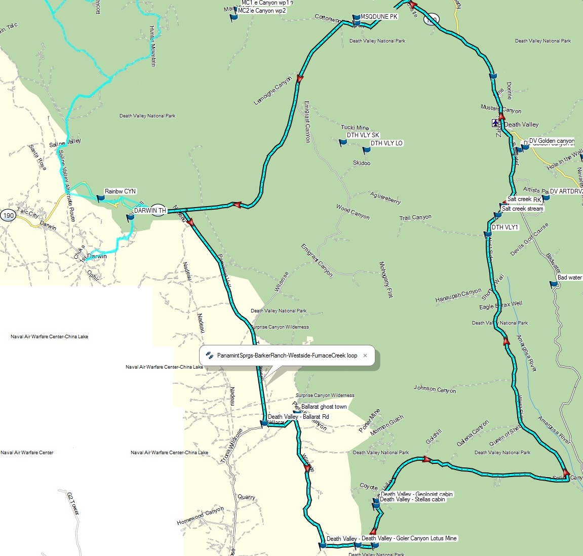
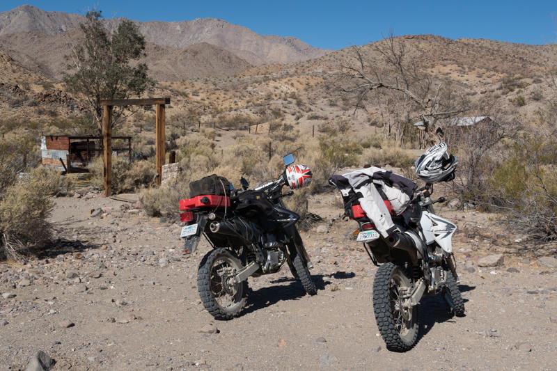
We explored Barker Ranch on foot, checking out a few
remaining buildings. Sadly the main ranch house burned
down about 10 years ago, so
 what
remains is not so interesting. Not to disappoint anyone,
but you won't find any Helter-Skelter graffiti in blood on the walls here if
that is what you are looking for (see some of the photos).
But, exploring the area was a worthy goal for the dual
sports, and a curious legacy location of Californica to see in person.
what
remains is not so interesting. Not to disappoint anyone,
but you won't find any Helter-Skelter graffiti in blood on the walls here if
that is what you are looking for (see some of the photos).
But, exploring the area was a worthy goal for the dual
sports, and a curious legacy location of Californica to see in person.
After lunch, we then saddled up and continued up Goler Canyon to the east, reaching Mengel Pass in about another 4 miles. As mentioned earlier, the road starts to become trickier, steeper, with deeper ruts, some patches of sand, and a few boulder fields. Bigger adventure bikes may have difficulty reaching the top or the immediate descent on the other side. Once at the top, the trail immediately to the east down into Death Valley has a steep and severe boulder field for about 100 feet that probably is the most difficult segment of the ride. After this spot, it runs out more, but still has some tricky sections. If you are on a dual sport such as the DRZ-400s and have some reasonable experience, you should be okay. If you want to do this in a 4wd vehicle, it should be lifted, or may need to spend some time stacking boulders and having a spotter to get thru some of the route. Also, it had rained here about 4 days earlier, so sandier segments of the trail were fairly firm and not too demanding.
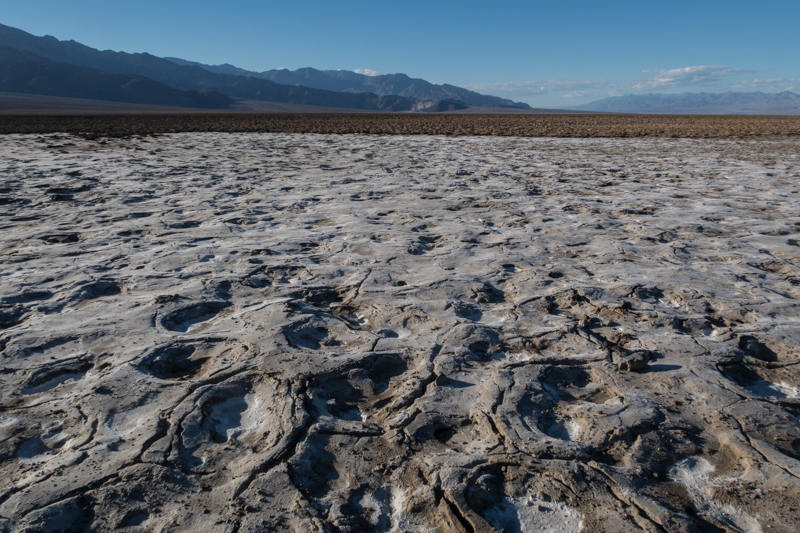
 Descending
down into a large valley, we stopped at a few additional cabins along the
way. Some of these are used by 4wd campers passing
through the area, using them for basic shelter if you don't mind the rodent
turds. The "Geologist Cabin" that has a view of Stripped
Butte was in the best condition, being constructed from granite boulders.
We met a couple that were staying at the place that night, already
having their bedding and other camp gear spread out inside.
After chatting a bit, we then continued on further to the east for another 25 miles to
Westside Road down in Death Valley. The road at this
point is in reasonable condition, with some sandy and rocky sections,
with our speed averaging between 15 and 35 mph.
Descending
down into a large valley, we stopped at a few additional cabins along the
way. Some of these are used by 4wd campers passing
through the area, using them for basic shelter if you don't mind the rodent
turds. The "Geologist Cabin" that has a view of Stripped
Butte was in the best condition, being constructed from granite boulders.
We met a couple that were staying at the place that night, already
having their bedding and other camp gear spread out inside.
After chatting a bit, we then continued on further to the east for another 25 miles to
Westside Road down in Death Valley. The road at this
point is in reasonable condition, with some sandy and rocky sections,
with our speed averaging between 15 and 35 mph.
A few miles after reaching the junction with
Westside road, the fuel level of our bikes went into reserve (at about 87
miles),
 triggering
a stop and a transfer of fuel from the Rotopax to the main tank.
It is also interesting to note that since we both have the same bikes with
similar modifications for carb jetting and the air box, our fuel consumption
is quite close, typically with Randy running out of gas about a mile before
I do.
The nearest gas at this point was at Furnace Creek, another 45 miles
to the north. The remainder of the way up Westside road
was fairly smooth, consisting of graded dirt/rock with some sections of
loose gravel and sand. We were able to pick up the speed
for the straighter sections to above 50 mph, but needed to watch the corners
due to the looseness of the rock and a few areas that were more wash-boardy.
If you are confident with your power-sliding skills, then this is a good
place for that.
triggering
a stop and a transfer of fuel from the Rotopax to the main tank.
It is also interesting to note that since we both have the same bikes with
similar modifications for carb jetting and the air box, our fuel consumption
is quite close, typically with Randy running out of gas about a mile before
I do.
The nearest gas at this point was at Furnace Creek, another 45 miles
to the north. The remainder of the way up Westside road
was fairly smooth, consisting of graded dirt/rock with some sections of
loose gravel and sand. We were able to pick up the speed
for the straighter sections to above 50 mph, but needed to watch the corners
due to the looseness of the rock and a few areas that were more wash-boardy.
If you are confident with your power-sliding skills, then this is a good
place for that.
Topping off the gas again at Furnace Creek, it was also an opportunity for a much needed break from a long day of riding, having an ice cream at the general store. At this point it was about 5 pm (since leaving camp at 9 am). We then continued back to our camp site at Panamint Springs via the pavement the rest of the way for the next 55 miles, reaching our base after nightfall at about 6:30 pm. Going over Towne Pass (about 5000 feet) on the way back got quite chilly, forcing a stop to put on the jacket liners and thicker gloves. Having an open faced helmet was also a bit painful over the pass, but once back down in the Panamint Valley it warmed up again.
In summary I would rate this as one of the better rides of Death Valley, and one that I would recommend to other dual sport riders. As mentioned earlier, the route overall is more suited for a medium sized dual sport, due to some more technical sections over Mengel Pass, but with some reasonable range and speed for the asphalt sections. Just be sure to have enough fuel, as it is about 125~130 miles from the gas at Panamint Springs to the next nearest at Furnace Creek via this route.